Vrbatova bouda – Memorial of Hanč a Vrbata and Dvoračky
You can start this trip at the station of the Medvědín lift, take it to an altitude of 1235 m above sea level and continue along the ridge of the mountains through Šmídova vyhlídka directly to Vrbatova bouda (5 km). This road is narrower and more suitable for pedestrians, but if you travel with a stroller, an asphalt road that leads from the upper station of the lift directly to Vrbatova bouda will be more suitable for you (7,5 km).
The second option is to set off directly from our pension along the path to Horní Mísečky. This route starts steeply from the beginning on asphalt road and gradually changes to a gravel / dirt road (3 km). There are three options in Horní Mísečky. The first option is to continue straight on and follow the winding asphalt road to Vrbatová bouda. This route is recommended especially for families with strollers (4.5 km).
The second option is the most advantageous in terms of time and views. It starts near to Jilemnická bouda (which is located in Horní Mísečky) and you will continue along the red tourist route. From the beginning you will climb a rocky path through the forest, but in about 1.5 km you will be enjoying beautiful views. From this path is possible to see Trosky (the ruins of the Castle) and also Ještěd (radio transmitter near Liberec). The total length of this route from Horní Mísečky is 3 kilometers.
Last way how to get to Vrbatova bouda is to use the possibility of a bus, which runs from Jilemnická bouda every half hour in the summer season.
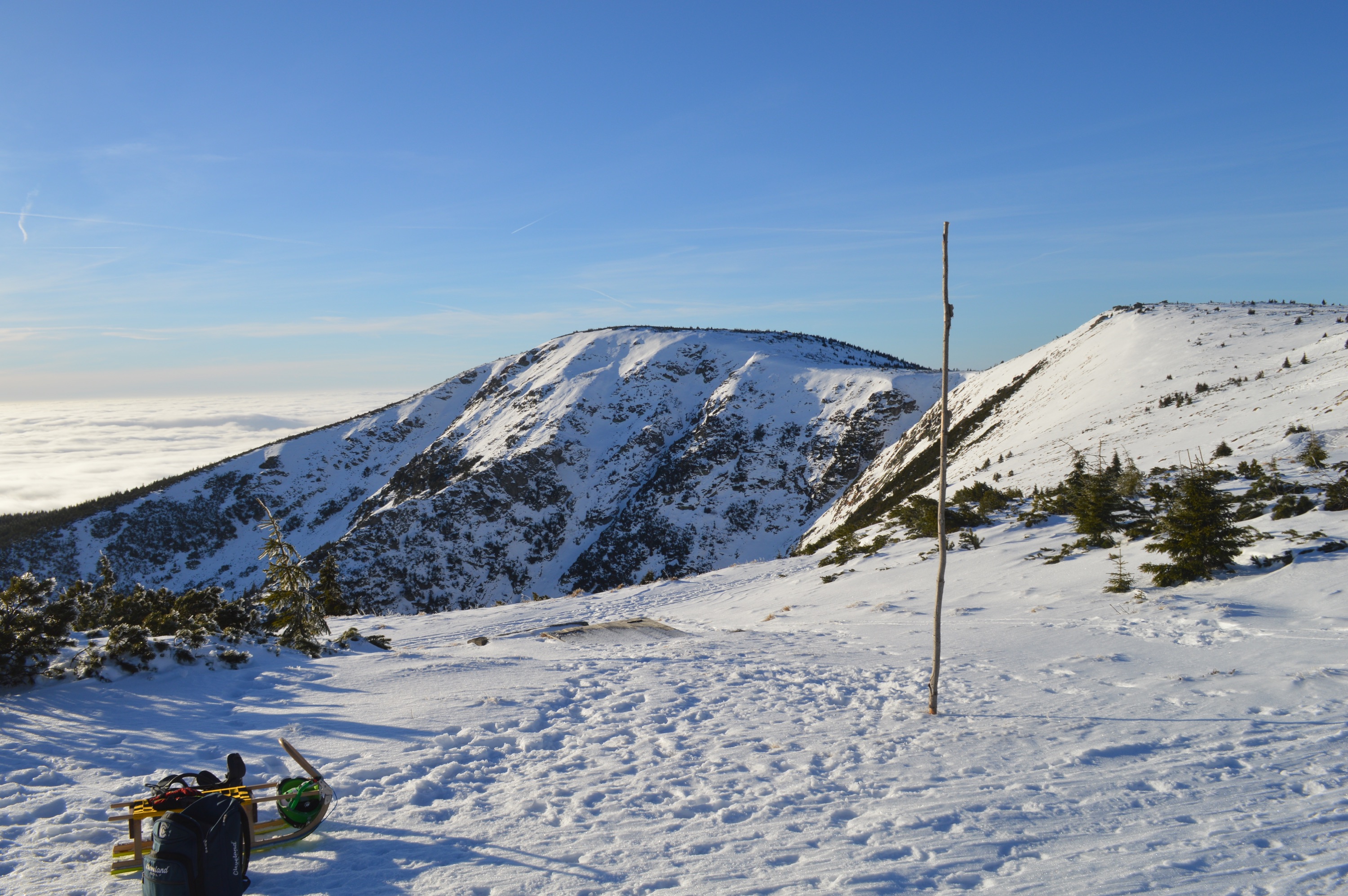
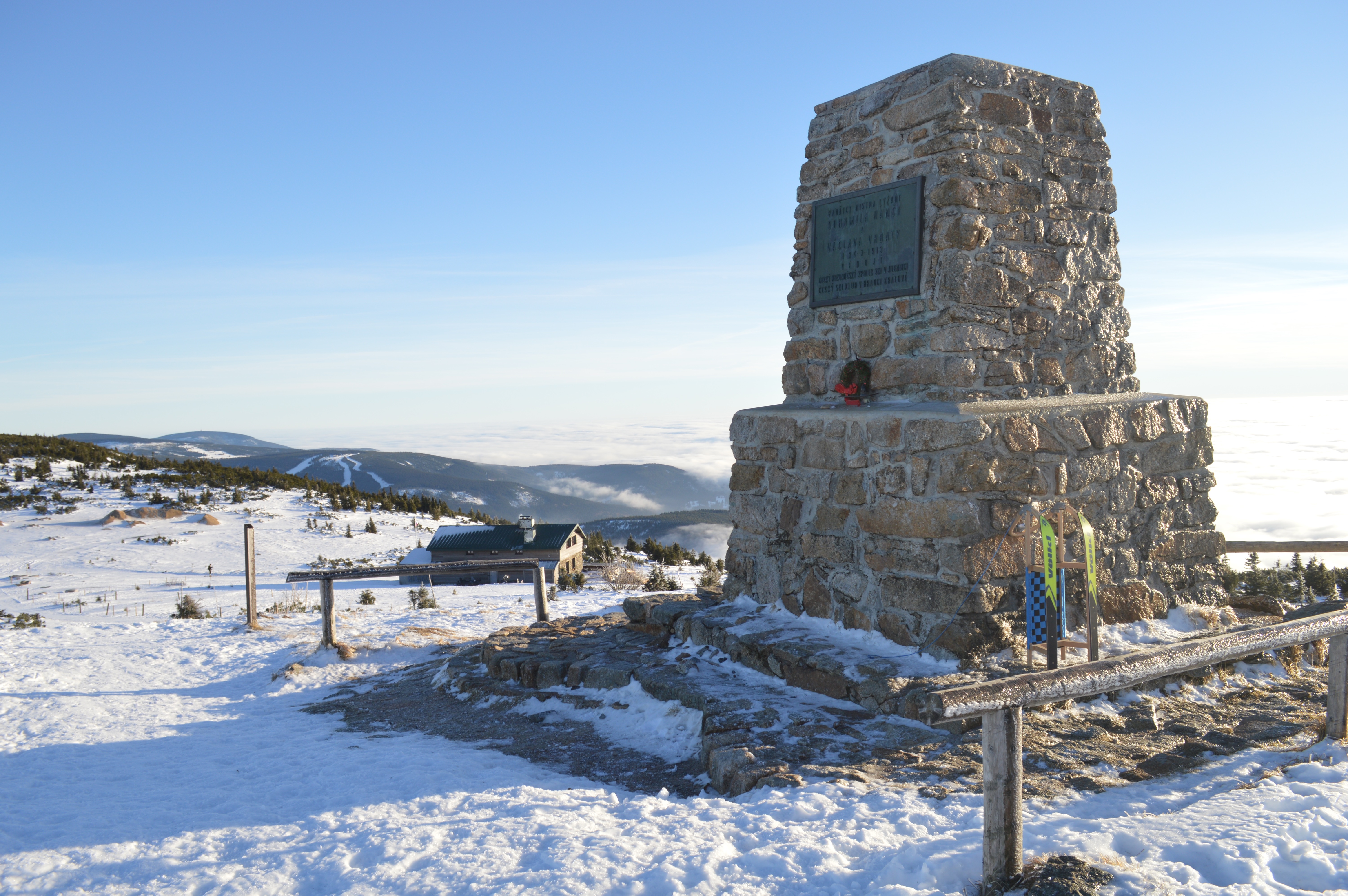
At Vrbatova bouda you can enjoy typical Czech blueberry dumplings or traditional Krkonoše soups. Above Vrbatová Bouda is Memorial of Hanč and Vrbata, which refers to the fateful day of March 24, 1913, when Václav Vrbata tried to save his good friend Bohumil Hanč during a 50-kilometer cross-country skiing race in bad weather. This day 24.3. became on behalf of these two heroes the day of the Mountain Rescue. From this Memorial you can see almost anything – Sněžka, Sněžné Jámy, Labská bouda, Špindlerova bouda and mountain peaks.
If you continue straight towards Harrachovy kameny (800m) you will enjoy a beautiful view on the valley and the highest mountain of the Liberec region – Kotel (1435m above the sea). From this viewpoint you can continue along the red road to Dvoračky, where is a famous restaurant (3 km). From Dvoračky you may use a narrow path, which is marked with green color and passes through Kotelní Jámy back to Horní Mísečky (7 km).